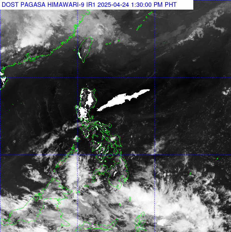
Synopsis
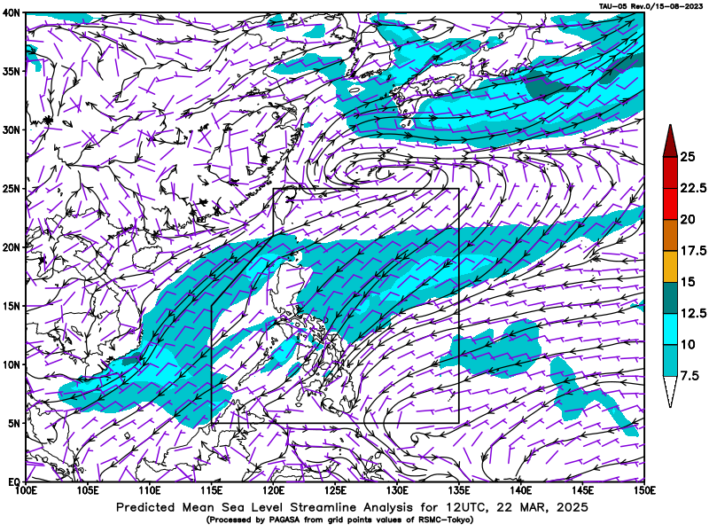
Southwest Monsoon affecting the country.
TC Information
| TROPICAL CYCLONE OUTSIDE PAR AS OF 3:00 PM TODAY |
| SEVERE TROPICAL STORM PODUL (2511) |
| LOCATION: 2,085 KM EAST OF EXTREME NORTHERN LUZON (21.6°N, 141.9*°E) |
| MAXIMUM SUSTAINED WINDS: 95 KM/H NEAR THE CENTER |
| GUSTINESS: UP TO 115 KM/H |
| MOVEMENT: WEST NORTHWESTWARD SLOWLY |
Forecast Weather Conditions
| Place | Weather Condition | Caused By | Impacts |
|---|---|---|---|
| Ilocos Region, Cordillera Administrative Region, and Cagayan Valley | Cloudy skies with scattered rains and thunderstorms | Southwest Monsoon | Possible flash floods or landslides due to moderate to at times heavy rains |
| Metro Manila and the rest of the country | Partly cloudy to cloudy skies with isolated rainshowers or thunderstorms | Southwest Monsoon | Possible flash floods or landslides during severe thunderstorms |
Forecast Wind and Coastal Water Conditions
| Place | Speed | Direction | Coastal Water |
|---|---|---|---|
| The whole country | Light to Moderate | Southwest to Southeast | Slight to Moderate / (0.6 to 1.5 meters) |
Temperature and Relative Humidity
Extremes for the 24-hour period ending at 4:00 PM TODAY
(Recorded at PAGASA Weather Station, Science Garden, Diliman, Quezon City)
| Max | Min | |||
|---|---|---|---|---|
| Temperature (°C) | 30.8 °C | 2:00 PM | 26.0 °C | 6:30 AM |
| Relative Humidity (%) | 90 % | 5:00 AM | 63 % | 2:00 PM |
Tides and Astronomical Information
Over Metro Manila| Today | Tomorrow | ||||
|---|---|---|---|---|---|
| Astronomy | |||||
| Sun Rise | -- | 5:41AM | |||
| Sun Set | 6:22PM | -- | |||
| Moon Rise | -- | 7:13PM | |||
| Moon Set | -- | 6:17AM | |||
| Illumination | -- | 98% | |||
|
Tidal Predictions for Manila Bay (m)
(Courtesy of NAMRIA) |
|||||
| High | -- | -- | 1.41 | 10:15AM | |
| Low | -- | -- | 0.03 | 06:37PM | |
| High | -- | -- | -- | -- | |
| Low | -- | -- | -- | -- | |
| High | -- | -- | -- | -- | |